Maria Longley, GiGL Community Manager
and Chloë Smith, GiGL Partnership Manager
What’s happening in your neighbourhood? How do you engage with nature and open spaces? Maybe you are a member of your local park’s Friends group, or an allotment society. Maybe you record wildlife with a local nature society. Perhaps there is a planning application on your street that you are concerned about. In all these cases, GiGL data services and the GiGL datasets can support an evidence base for local decision-makers and residents. To achieve this aim, GiGL works with both London communities and a partnership of local and regional organisations.
In London, local services such as rubbish collection, recycling, Council Tax, housing and planning applications are the responsibility of a single tier of local government e.g. your London borough. Other services, including fire, police and public transport, are provided through the Greater London Authority. (1)
GiGL works with partners in London across the spectrum of regional to local remits including London Boroughs, the GLA and other government agencies. These bodies can access and contribute to London’s environmental evidence base via partnership with GiGL and this way decisions that affect your environment can be informed by a shared evidence base.
At GiGL, we also sometimes speak directly with members of the public who either want to champion their local spaces and wildlife and/or who are worried about threats to them. One of the advantages of GiGL’s not-for-profit Community Interest Company business model is that we can waive the charge for our time when processing reasonable requests from members of the public who would otherwise not be able to access our data or services. Members of the public also frequently contribute biological data for their local area and we can help with digitising these observations and getting them into the London datasets.
Most frequently, we provide London residents with baseline data for engaging with the planning process and to provide context for improving or managing a neighbourhood park or green space.
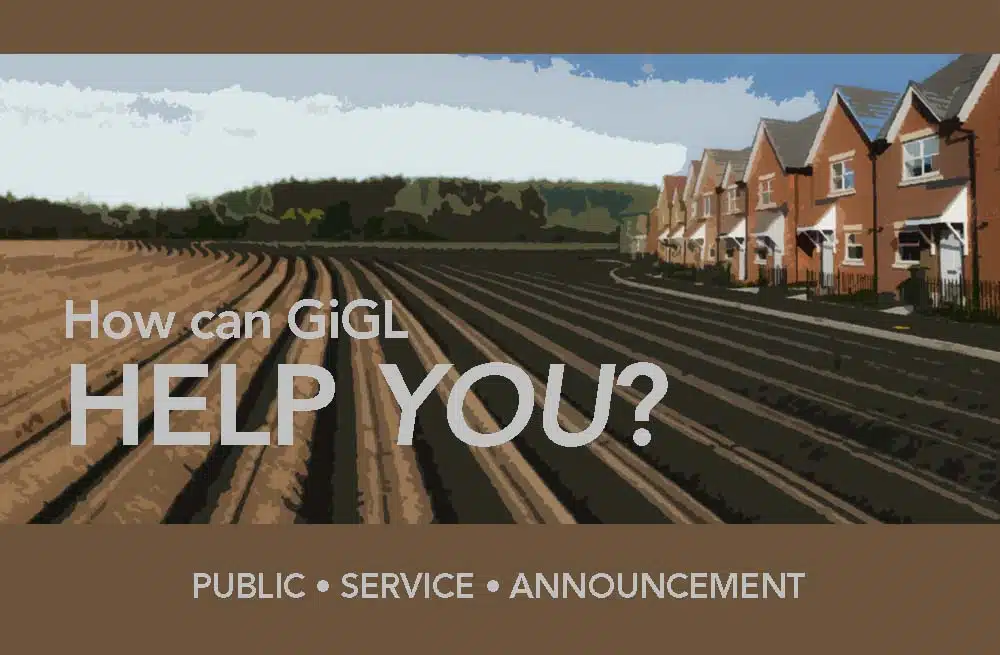
Engaging with the planning process
The UK planning system aims to achieve a balance between enabling development and conserving and protecting the environment and local amenities (2). Most major changes to buildings and the local environment, and new buildings, require planning consent. Your local planning authority is responsible for deciding if a development should go ahead (3). Members of the public who come to GiGL for data services may be engaging with the planning process at one of a number of stages. For example, they may be attempting to influence their Local Development Plan, working with their Neighbourhood Plan or participating in a public consultation.
Most of Greater London’s local authorities work in partnership with GiGL to keep London’s baseline of environmental data up-to-date and provide some funding to facilitate our custodianship of, and their access to, local environmental datasets via service level agreements. If you are aware of a development in your area, check if your borough is a GiGL partner. If so, they will have regular access to the GiGL datasets and may be using this information in their assessment of planning applications and the drafting of local plans.
On certain developments, the developer will be working with an environmental or ecological consultancy. The consultancy may be accessing environmental information for the impact area from their Local Environmental Records Centre (LERC). GiGL is the LERC in Greater London. They may use this data to help contextualise their appraisal of impacts on biodiversity and the local environment or to help with mitigation or in creating management plans.
If, as a local resident, you would like to see a snap-shot of the environmental datasets that exist in the area, you can request a data search report from GiGL. This may be useful if you are attending a planning consultation or talking with your planning authority about a local development. We can provide a report for a local area (e.g.1km or 2km zone), with no charge for our time, to members of the public or voluntary groups that don’t have funds. This means you’ll have a report on the same information as the local authority or developer access if they are also accessing GiGL data via partnership or our data search service.
The only restrictions on the provision of this information is that it is only used by the named person(s) and is not re-printed or published. These conditions are outlined in a data use licence that we would ask you to sign before receiving the report.
GiGL will help with understanding the data we provide but, as we are a neutral organisation with data expertise rather than knowledge of the planning system, we cannot provide advice regarding specific implications nor can we influence decisions. For information about planning you could visit the Planning Portal or contact your local authority.
Investigating your patch
There are many active voluntary groups who are affiliated with their local green space across London. The London Greenspaces Friends Groups Network estimates over 500 friends groups and fora exist in London. Friends groups have different focuses. Some might be looking to protect their local site from development, others may be undertaking habitat management or improving the site as a shared community space.
Some groups actively record wildlife or habitat on their patch. If your group would benefit from access to London’s environmental data for the area, GiGL can help. It can sometimes be interesting to see what’s been previously recorded at the site – to provide context for future recording decisions. On some sites very little has been recorded, which is an incentive for groups to redress the knowledge gap by recording and sharing their observations.
What information can members of the public access?
GiGL holds records on habitats, land use and wildlife observations, the mapped boundaries and official ‘citation’ documents for protected nature sites and a number of other datasets. The information comes from a range of sources and records are of varied ages, including historic and modelled data.
Many datasets are mapped in summary form on GiGL’s online portal Discover-London. This can be a good place to find information about your area. Note however, that iGiGL shows only data for publicly accessible spaces and this information is in summary form. More detailed data, including species information, would need to be provided in a tailored report made for you by GiGL.
If you would like to request a data report for your area of interest, you can contact Maria, GiGL’s Community Manager, who will explain more.
Some information is particularly pertinent to the planning process. For example, observations of species that are protected under UK or European law, or that have a local conservation status. These ‘designated’ species will be listed in the report for your area of interest. However, it is important to remember that a lack of records doesn’t necessarily mean that the species has never been present there or that the habitat is unsuitable. For example, an ecologist normally uses the ‘desk study’, reviewing existing available data, to inform their ground surveys.
We are currently working on developing a more user friendly data search report for non-specialists with clearer data interpretation and a web page of links and sign posts about planning resources. We hope this will be rolled out soon.
Chloë Smith is GiGL’s Partnership Manager and works with local authorities and other organisations who partner with GiGL to update, access and interpret London’s environmental evidence base, to help with their local or regional decision-making.
Maria Longley is GiGL’s Community Manager and works with other groups or individuals who are collecting data about, or being inspired by, their local environment or engaging with their local planning system.
References
1. https://www.gov.uk/understand-how-your-council-works/types-of-council
2. Royal Town Planning Institute, Planning Aid England: http://www.rtpi.org.uk/planning-aid/
3. The Planning Portal http://www.planningportal.gov.uk/